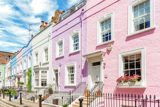
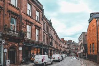
Blackburn with Darwen possesses a distinctive character shaped by its Industrial Revolution heritage. The borough's red-brick architecture, particularly prevalent in Victorian terraced housing, stands as its cotton industry past. Many of the pre-1919 terraced houses were built by Irish immigrants who arrived during this industrial boom, creating the dense terraced streets that still define much of Blackburn's residential character. The borough's housing stock is notably dominated by terraced properties at 48%, significantly higher than the regional average of 31% and national average of 26%, creating a unique market environment.
The local geography presents important considerations for property buyers. The borough sits atop the Pennine Coal Measures Group with Millstone Grit of the Carboniferous era in the north, and clay-rich soils present shrink-swell risks that can affect foundations. Properties with trees planted close to the building may experience ground heave if those trees are removed, or subsidence if they remain, as clay soils expand and contract with moisture levels. The underlying geology means some areas, particularly around the BB2 postcode, may benefit from a Coal Mining Report during the conveyancing process to check for legacy mining features.
Flood risk is a genuine consideration for certain properties in the borough. Properties adjacent to the River Darwen, including areas around Ewood Park, Stancliffe Street, Griffin Mill, and River Mill, fall within flood warning areas. Surface water flooding presents a more widespread risk, particularly in the upper reaches of the River Blakewater and along the River Darwen valley. The topography and landform contribute to surface water pooling after heavy rainfall. Buyers should request an environmental search that includes flood risk assessment, particularly for properties in the Darwen valley area.
Demographically, Blackburn with Darwen has a population of approximately 162,540 as of 2024 mid-year estimates, representing 4.9% growth since the 2011 Census. The borough has a younger population profile with over a quarter of households having four or more people, the highest proportion in the North West. Home ownership stands at 60.5%, having decreased from 64.2% in 2011, while private renting has increased to 20.2%, now matching the England average. Employment rates at 67.6% remain below the national average of 75.5%, though key employers including BAE Systems at Samlesbury, the Wade Group, and Graham and Brown provide manufacturing employment opportunities. The borough ranks 11th most deprived out of 296 districts in England, which influences housing affordability and market dynamics.











 Curtis Law Estate Agents Limited
-2d ago
Curtis Law Estate Agents Limited
-2d ago